

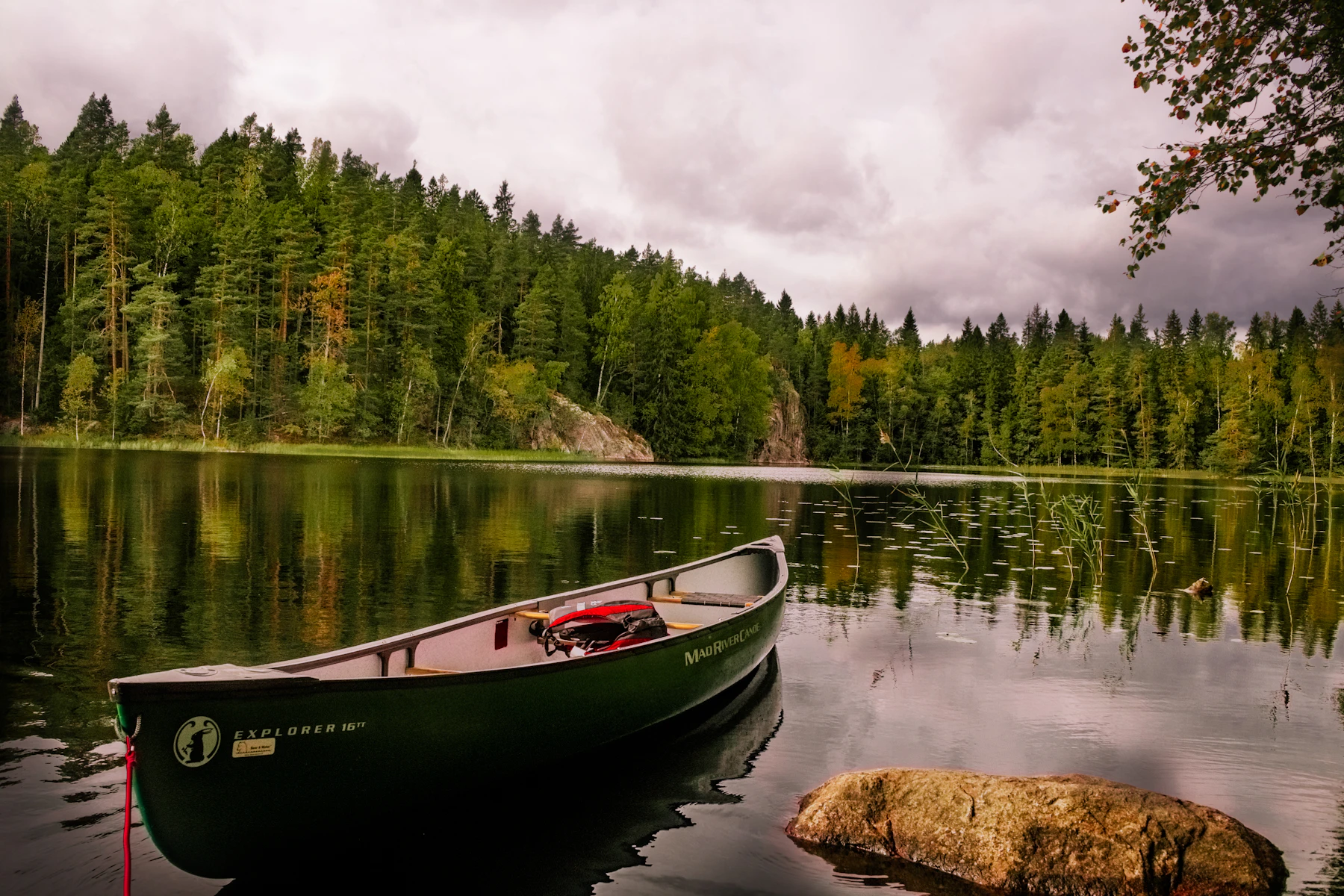
Hvinningdal grusgrav
N 56.172° · E 9.481° · Central Denmark Region, Denmark
01 · What's here
The facts.
- Fresh waterFresh water: confirmed
- Toiletsnot confirmedToilets: not confirmed, do not count on it
- Showersnot confirmedShowers: not confirmed, do not count on it
- Electric hook-upnot confirmedElectric hook-up: not confirmed, do not count on it
- Greywater dumpnot confirmedGreywater dump: not confirmed, do not count on it
Solid means confirmed. Dashed means nobody has confirmed it, so do not count on it. Struck through means it is not here.
- Type
- Shelter
- Fee
- Free
- Booking
- Required. Book before you travel, not on the night.
- Coordinates
- N 56.172° · E 9.481°
- Last verified
- 2026-07-20
02 · Where it is
On the map.
03 · The write-up
What it is like to arrive here.
Free to sleep at, but you have to book it first. Naturstyrelsen - Søhøjlandet lists this one as bookable, so it is not a place to turn up at on the night and hope.
This is a shelterplads, a three-sided timber shelter you sleep in, on Naturstyrelsen - Søhøjlandet’s land.
Drinking water is listed here. Nothing else is recorded, so plan on carrying everything else in and out.
These details come from Naturstyrelsen - Søhøjlandet’s record on udinaturen.dk, the Danish state’s own outdoor facilities portal, checked 2026-07-20. The posted sign at the site and the operator’s current word beat any listing, including this one.
Nearby
Others in Central Denmark Region.
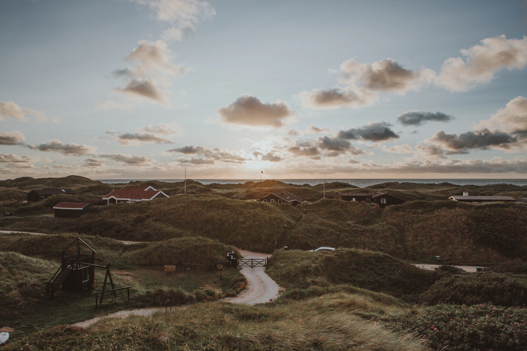 Shelter i Hvinningdal Skov
- Fresh waterFresh water: not confirmed, do not count on it
- ToiletsToilets: not confirmed, do not count on it
- ShowersShowers: not confirmed, do not count on it
- Electric hook-upElectric hook-up: not confirmed, do not count on it
- Greywater dumpGreywater dump: not confirmed, do not count on it
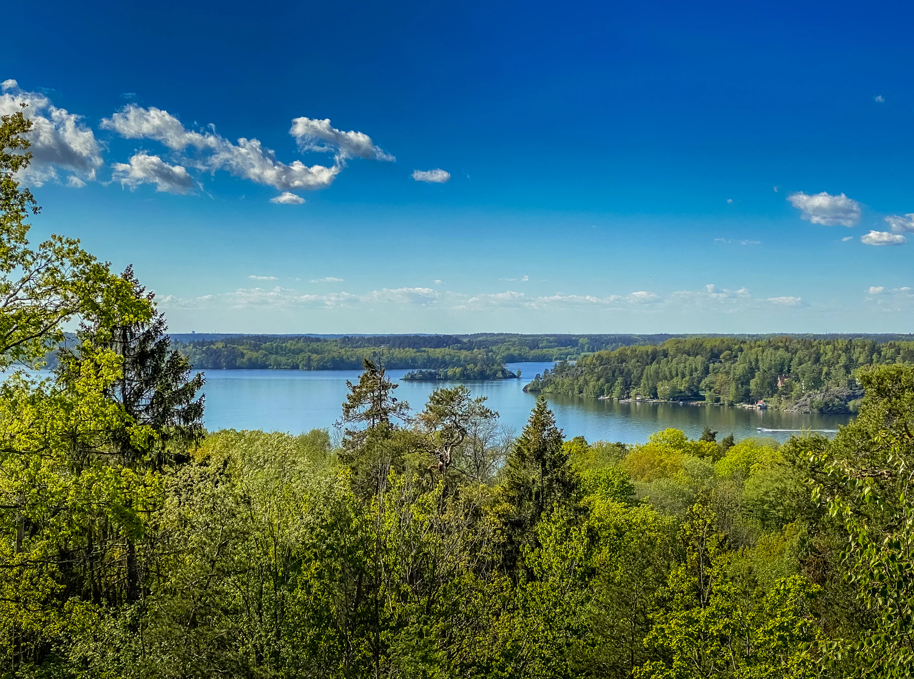 Primitiv overnatningsplads ved Skeldalen
- Fresh waterFresh water: confirmed
- ToiletsToilets: not confirmed, do not count on it
- ShowersShowers: not confirmed, do not count on it
- Electric hook-upElectric hook-up: not confirmed, do not count on it
- Greywater dumpGreywater dump: not confirmed, do not count on it
Vesterskov, Jenskær pladsen- Fresh waterFresh water: not here
- ToiletsToilets: not confirmed, do not count on it
- ShowersShowers: not confirmed, do not count on it
- Electric hook-upElectric hook-up: not confirmed, do not count on it
- Greywater dumpGreywater dump: not confirmed, do not count on it
 Hørbylunde shelterplads (shelter 1)
- Fresh waterFresh water: not confirmed, do not count on it
- ToiletsToilets: not confirmed, do not count on it
- ShowersShowers: not confirmed, do not count on it
- Electric hook-upElectric hook-up: not confirmed, do not count on it
- Greywater dumpGreywater dump: not confirmed, do not count on it