

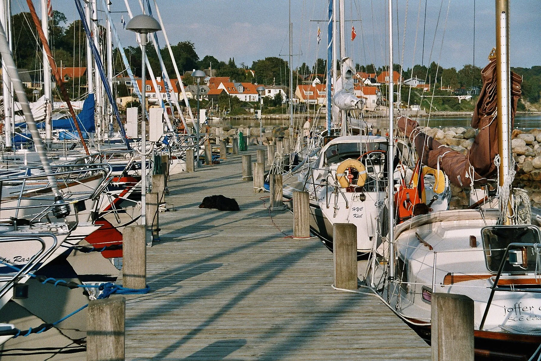
Høruphav Teltplads
N 54.906° · E 9.885° · Region of Southern Denmark, Denmark
01 · Sur place
Les faits.
- Eau potableEau potable: confirmé
- ToilettesToilettes: confirmé
- Douchesnon confirméDouches: non confirmé, ne comptez pas dessus
- Électriciténon confirméÉlectricité: non confirmé, ne comptez pas dessus
- Borne de vidangenon confirméBorne de vidange: non confirmé, ne comptez pas dessus
Plein signifie confirmé. En pointillés signifie que personne ne l'a confirmé, donc ne comptez pas dessus. Barré signifie absent.
- Type
- Camping
- Tarif
- Gratuit
- Réservation
- Non indiqué. Beaucoup de sites de ce genre prennent des réservations, vérifiez donc la source avant de compter sur une place.
- Coordonnées
- N 54.906° · E 9.885°
- Vérifié le
- 2026-07-20
- Emplacements
- 6 lieux
Notes d'accès
Tents only, with the OpenStreetMap record giving a capacity of 6 tents and tagging caravans and motorized vehicles as not allowed. The agency listing describes arrival by boat, with the site marked by a red sign reading Overnatning, and the water and toilets are at the nearby harbor rather than on the pitch itself.
02 · Où c'est
Sur la carte.
03 · La description
Ce que c'est que d'arriver ici.
Høruphav Teltplads is a free primitive tent site just west of Høruphav marina on the south coast of the island of Als, in the far southeast of Denmark. Naturstyrelsen, the Danish Nature Agency, runs it through its Sønderjylland unit and states that it may be used free of charge for a maximum of two nights without asking permission first.
Tents only. The OpenStreetMap record gives the capacity as 6 tents and tags caravans and motorized vehicles as not allowed. Nothing here is a motorhome stopover.
What the agency listing says
The agency lists the site under the name of the surrounding woodland, Lambjerg Indtægt, which is worth knowing if you go looking for it on a Danish map and the name on this page does not match. The listing is in Danish on udinaturen.dk, so translate it yourself if a detail is going to decide your night.
Two facts decide the plan: it is free, and two nights is the ceiling before you have to ask. It describes a larger open area with a fire pit and picnic tables, and it notes arrival by boat, with the site marked from the water by a red sign reading Overnatning, meaning overnight stay. That sign is a real navigational aid rather than a decoration, which tells you who the site was laid out for.
This is a tent site, not a shelter. If a shelter is what you came for, the Denmark country page tells you where to find and book one.
What is here
Drinking water and toilets are tagged as present in the OpenStreetMap record, which also notes that both are at the nearby harbor rather than on the pitch itself. That is a meaningful difference: a marina toilet block can be locked, on a code, or closed out of season in a way that a dedicated site facility is not.
Showers, an electric hook-up and a chemical waste point are not listed either way. Plan around not having them.
Where it sits
Als is a Danish island off the southeastern corner of Jylland, joined to the mainland at Sønderborg and separated from it by the narrow Als Fjord and Alssund. Høruphav is a sheltered inlet on the island’s south coast, facing the Baltic across the water toward the German coast.
That geography is the whole point of the place. This is about as far from the North Sea dune coast as you can get without leaving Denmark, and the difference is real rather than decorative. Als is low, wooded, and farmed, with hedged fields and small woods running down to the shore, and the water it sits on is enclosed. Wind here has nowhere near the fetch it has on the west coast of Jylland, so a shore pitch stays tolerable in conditions that would drive you inland from Ringkøbing Fjord.
It also puts you within easy reach of Sønderborg, a proper town with full services, and close to the German border if you are working your way up or down the Baltic coast. The sailing and kayaking traffic through Høruphav in summer is the reason the harbor has facilities at all.
The rule that applies
Denmark does not have a Swedish-style right to roam. Sweden’s allemansrätten is a general access right that does not depend on the landowner’s consent. Denmark has no equivalent. What Denmark has is landowners, in this case the state, granting permission on named ground under named conditions.
The two-night ceiling on this site is one of those conditions and it is published by the agency, not inferred by us. It applies to this pitch and says nothing about the woods, the beach or the fields around it. Read the Nordic right to roam page for where each Nordic country stands, and the Denmark country page for how the Danish permissions actually work.
The posted sign at the site and Naturstyrelsen’s current guidance beat this website.
Before you rely on this
Open the Naturstyrelsen listing linked below and confirm the free status and the two-night limit still read as we describe them. Agency listings change, sites close for maintenance and for the season, and the harbor facilities this site depends on have their own opening arrangements that have nothing to do with the pitch.
If you are in a vehicle, this is not the record you want. Capacity 6 tents, no caravans, no motor vehicles.
À proximité
D'autres lieux : Region of Southern Denmark.
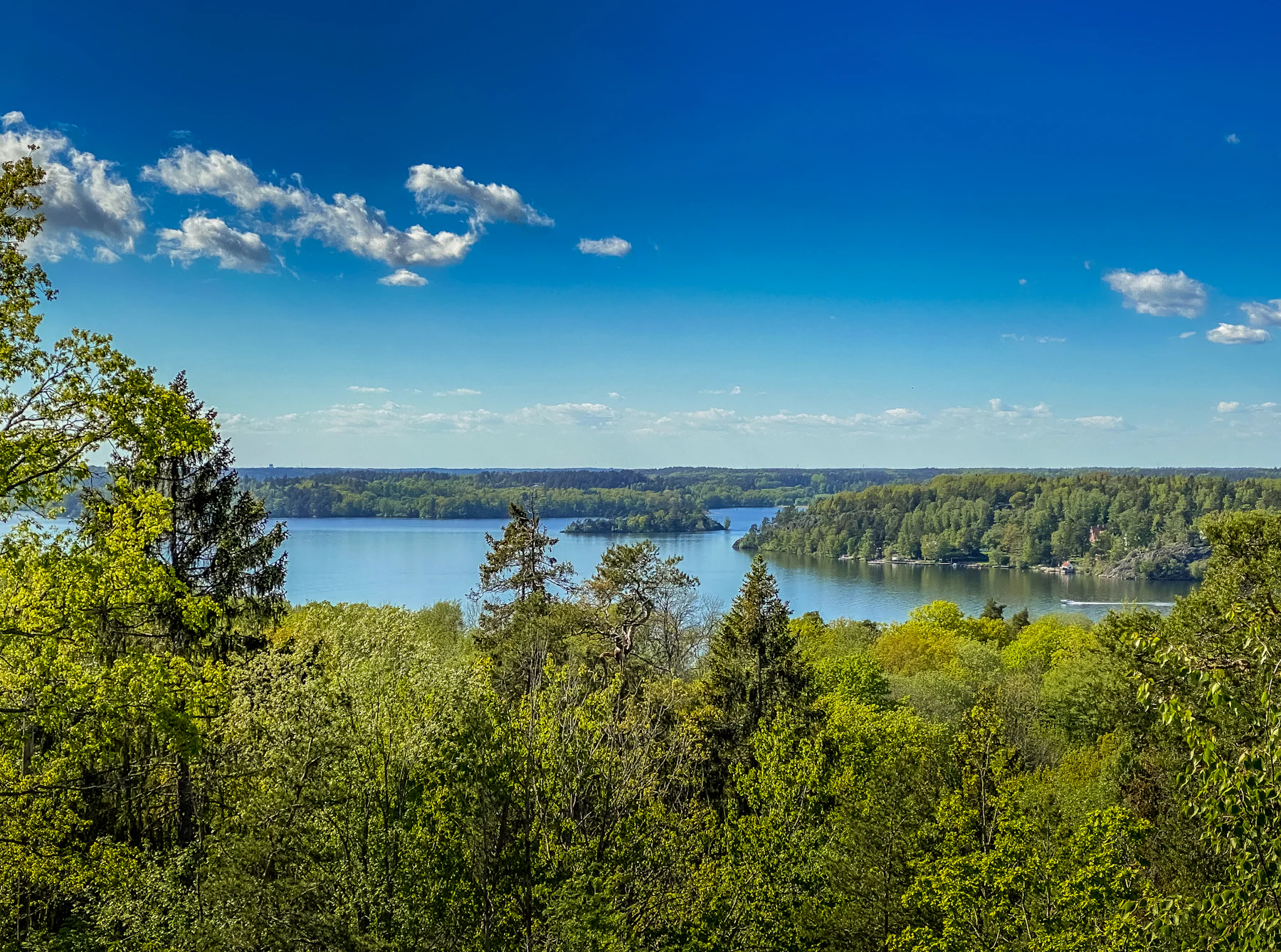 Lambjerg Indtægt - Shelter "Uglen"
- Eau potableEau potable: absent
- ToilettesToilettes: non confirmé, ne comptez pas dessus
- DouchesDouches: non confirmé, ne comptez pas dessus
- ÉlectricitéÉlectricité: non confirmé, ne comptez pas dessus
- Borne de vidangeBorne de vidange: non confirmé, ne comptez pas dessus
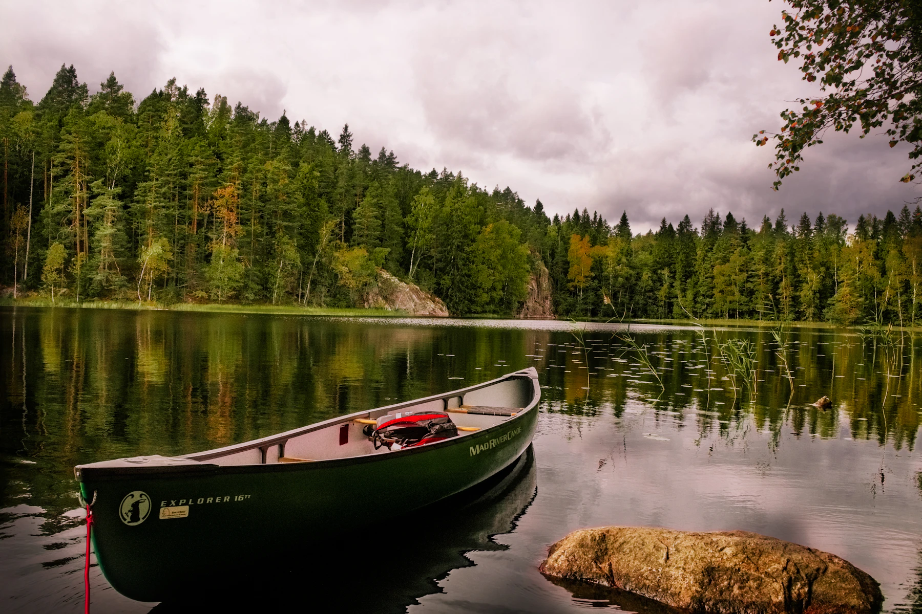 Lambjerg Indtægt Shelter "Spætten"
- Eau potableEau potable: absent
- ToilettesToilettes: non confirmé, ne comptez pas dessus
- DouchesDouches: non confirmé, ne comptez pas dessus
- ÉlectricitéÉlectricité: non confirmé, ne comptez pas dessus
- Borne de vidangeBorne de vidange: non confirmé, ne comptez pas dessus
Als, Sønderskoven- Eau potableEau potable: absent
- ToilettesToilettes: non confirmé, ne comptez pas dessus
- DouchesDouches: non confirmé, ne comptez pas dessus
- ÉlectricitéÉlectricité: non confirmé, ne comptez pas dessus
- Borne de vidangeBorne de vidange: non confirmé, ne comptez pas dessus
Sønderskoven - Mini Shelter "Hejren"- Eau potableEau potable: non confirmé, ne comptez pas dessus
- ToilettesToilettes: non confirmé, ne comptez pas dessus
- DouchesDouches: non confirmé, ne comptez pas dessus
- ÉlectricitéÉlectricité: non confirmé, ne comptez pas dessus
- Borne de vidangeBorne de vidange: non confirmé, ne comptez pas dessus
Tout ce que cite cette page