

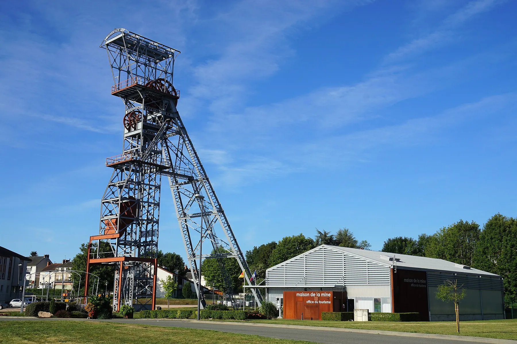
Aire Saint-Éloy-les-Mines
N 46.156° · E 2.836° · Auvergne-Rhône-Alpes, France
01 · What's here
The facts.
- Fresh waterFresh water: not here
- ToiletsToilets: confirmed
- ShowersShowers: not here
- Electric hook-upElectric hook-up: confirmed
- Greywater dumpGreywater dump: confirmed
Solid means confirmed. Dashed means nobody has confirmed it, so do not count on it. Struck through means it is not here.
- Type
- Aire
- Fee
- Free
- Booking
- Not stated. Plenty of sites like this take bookings, so check the source before counting on a space.
- Coordinates
- N 46.156° · E 2.836°
- Last verified
- 2026-07-20
Access notes
The mairie describes the site as being beside the water. No barrier or height limit is listed, so look at the entrance before you commit a long vehicle.
02 · Where it is
On the map.
03 · The write-up
What it is like to arrive here.
This is an aire de services, meaning a stopover with a service point rather than just a patch of tarmac, and the commune says in plain French that you can use it for nothing.
The page is published by the Mairie de Saint-Éloy-les-Mines itself. It says you can park there “gratuitement”, and that a free service area is available with a drain for waste water, a fresh water fill and access to toilets. That is the commune stating its own rule, so it is the page to read for the current one.
What is actually here
Toilets, an electrical hook-up and a waste disposal point. No showers.
The mairie’s page lists a fresh water fill, “plein d’eau claire”, so expect water to be available. Have a plan B in the next town anyway, because a communal tap is one hard frost away from being switched off.
The commune page publishes neither a capacity nor a maximum stay. Read the sign at the entrance, and have a second option in mind if you arrive in high season.
Where it sits
Saint-Éloy-les-Mines is in the north of the Puy-de-Dôme, in the Combrailles, which is the quiet upland country between the Auvergne volcanoes and the Cher. The name is not decorative: this was a coal town, and it has the shape of a working small town rather than a tourist village.
This is the western, gentler half of Auvergne-Rhône-Alpes. Roads behave normally here, distances on the map mean roughly what they say, and you are a long way from any alpine pass. That makes it a practical staging stop if you are crossing the region east to west rather than a destination in itself.
Altitude and season
The Combrailles is upland rather than mountain, so this is not an aire that disappears under snow for half the year. It is still Auvergne, and hard frost is normal in winter across this whole plateau country. Communes routinely shut the water off at a service point over winter so the pipework does not split, and they do not always say so in advance. No closing season is published for this aire, so call the mairie before you plan a mid-winter service stop around it.
The rule that applies
An aire is a municipal facility, and the commune that owns it sets the terms. France’s national position on sleeping in a vehicle is covered on our French bivouac rules page, and if the word itself is new, start with what an aire actually is. Neither of those overrides the sign at the entrance. The mairie can restrict the aire for a fête, for works, or for the winter, and the posted sign is the current rule.
Before you rely on this
Open the commune’s page linked below before you drive to it. Municipal aires change without anyone updating a map, and a page on the internet is never the authority on a barrier that went up last week.
Nearby
Others in Auvergne-Rhône-Alpes.
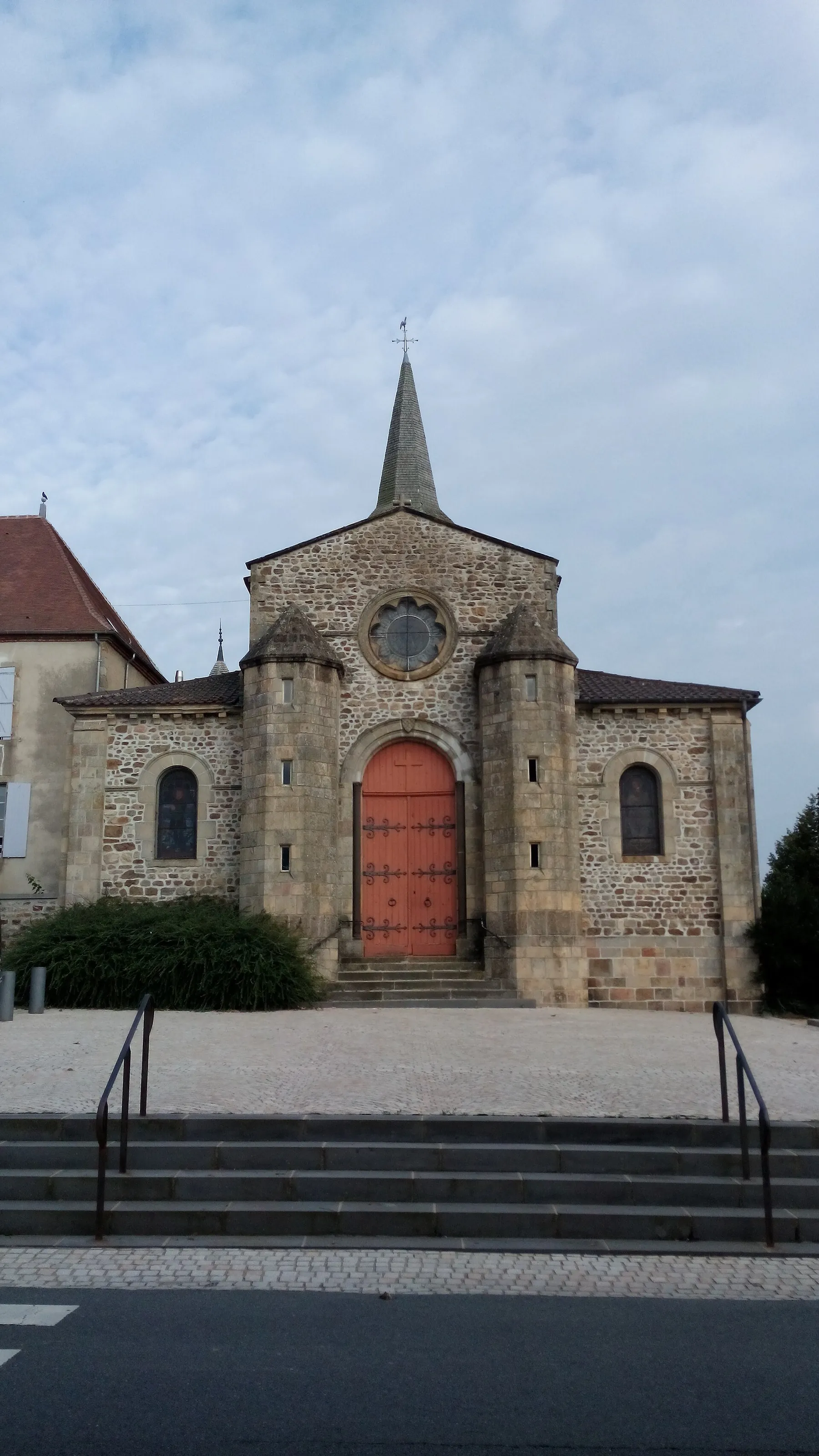 Aire de services Camping-car
- Fresh waterFresh water: not confirmed, do not count on it
- ToiletsToilets: not confirmed, do not count on it
- ShowersShowers: not confirmed, do not count on it
- Electric hook-upElectric hook-up: not confirmed, do not count on it
- Greywater dumpGreywater dump: not confirmed, do not count on it
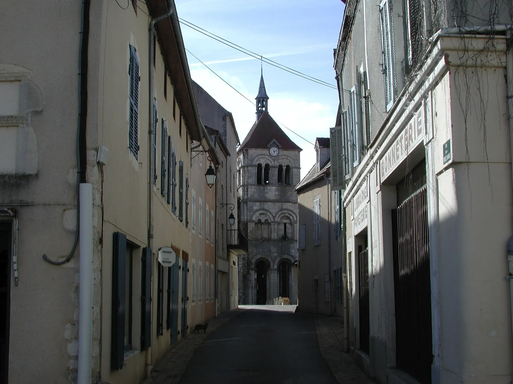 Aire de stationnement Camping-Car
- Fresh waterFresh water: not confirmed, do not count on it
- ToiletsToilets: not confirmed, do not count on it
- ShowersShowers: not confirmed, do not count on it
- Electric hook-upElectric hook-up: not confirmed, do not count on it
- Greywater dumpGreywater dump: not confirmed, do not count on it
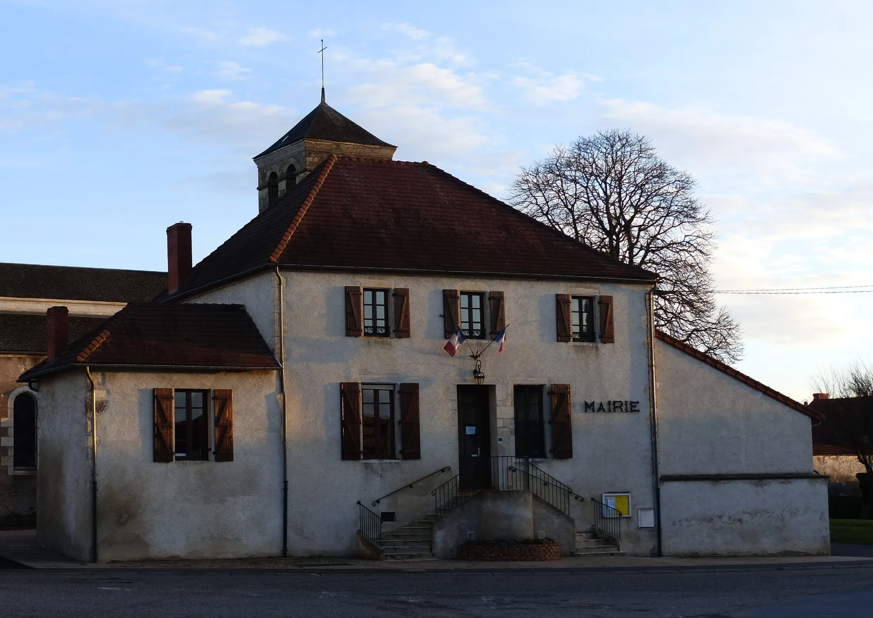 Aire d'accueil de Camping-cars
- Fresh waterFresh water: not confirmed, do not count on it
- ToiletsToilets: not confirmed, do not count on it
- ShowersShowers: not confirmed, do not count on it
- Electric hook-upElectric hook-up: not confirmed, do not count on it
- Greywater dumpGreywater dump: not confirmed, do not count on it
 Aire Pont Les eaux salées Chantelle
- Fresh waterFresh water: confirmed
- ToiletsToilets: confirmed
- ShowersShowers: not here
- Electric hook-upElectric hook-up: not here
- Greywater dumpGreywater dump: not here
Everything this page cites