

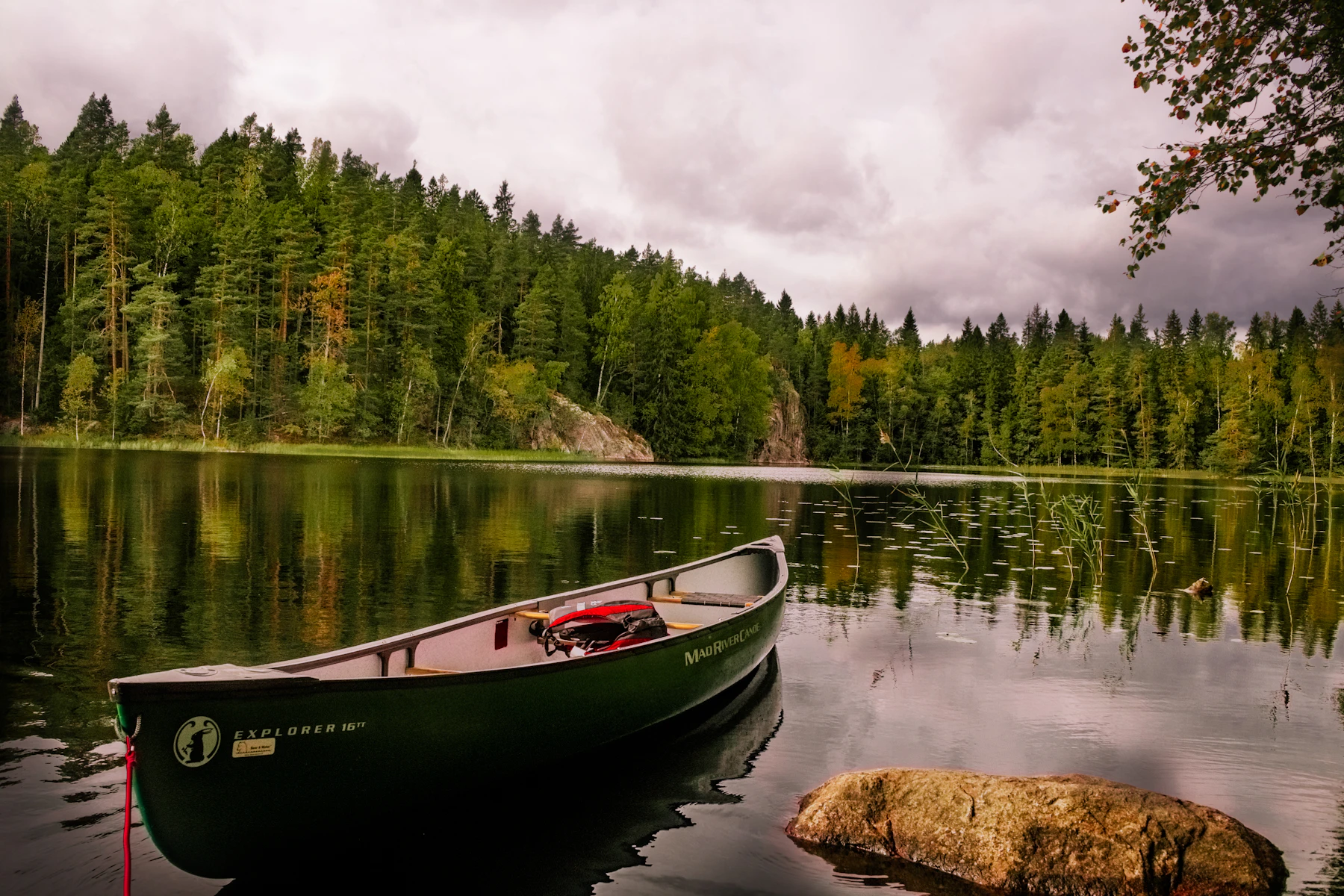
Myrhøj, Shelterplads
N 56.799° · E 9.245° · North Denmark Region, Denmark
01 · Was es hier gibt
Die Fakten.
- TrinkwasserNicht bestätigtTrinkwasser: Nicht bestätigt, verlass dich nicht darauf
- ToilettenNicht bestätigtToiletten: Nicht bestätigt, verlass dich nicht darauf
- DuschenNicht bestätigtDuschen: Nicht bestätigt, verlass dich nicht darauf
- StromNicht bestätigtStrom: Nicht bestätigt, verlass dich nicht darauf
- EntsorgungsstationNicht bestätigtEntsorgungsstation: Nicht bestätigt, verlass dich nicht darauf
Durchgezogen heißt bestätigt. Gestrichelt heißt: niemand hat es bestätigt, verlass dich also nicht darauf. Durchgestrichen heißt: nicht vorhanden.
- Typ
- Shelter
- Gebühr
- Kostenlos
- Reservierung
- Nicht nötig. Wer zuerst kommt, steht zuerst.
- Koordinaten
- N 56.799° · E 9.245°
- Zuletzt geprüft
- 2026-07-20
- Öffnungszeiten
- Open all year
02 · Wo es liegt
Auf der Karte.
03 · Die Beschreibung
Wie es ist, hier anzukommen.
Free, and you can turn up without booking. First come, first served.
This is a shelterplads, a three-sided timber shelter you sleep in, on Vesthimmerlands Kommune’s land.
Water is not recorded either way, so bring enough for the night and treat a tap as a bonus.
Listed as open all year. Danish sites commonly shut the water off over winter even when the site itself stays open, so from September on, assume the tap is dry.
These details come from Vesthimmerlands Kommune’s record on udinaturen.dk, the Danish state’s own outdoor facilities portal, checked 2026-07-20. The posted sign at the site and the operator’s current word beat any listing, including this one.
In der Nähe
Andere in North Denmark Region.
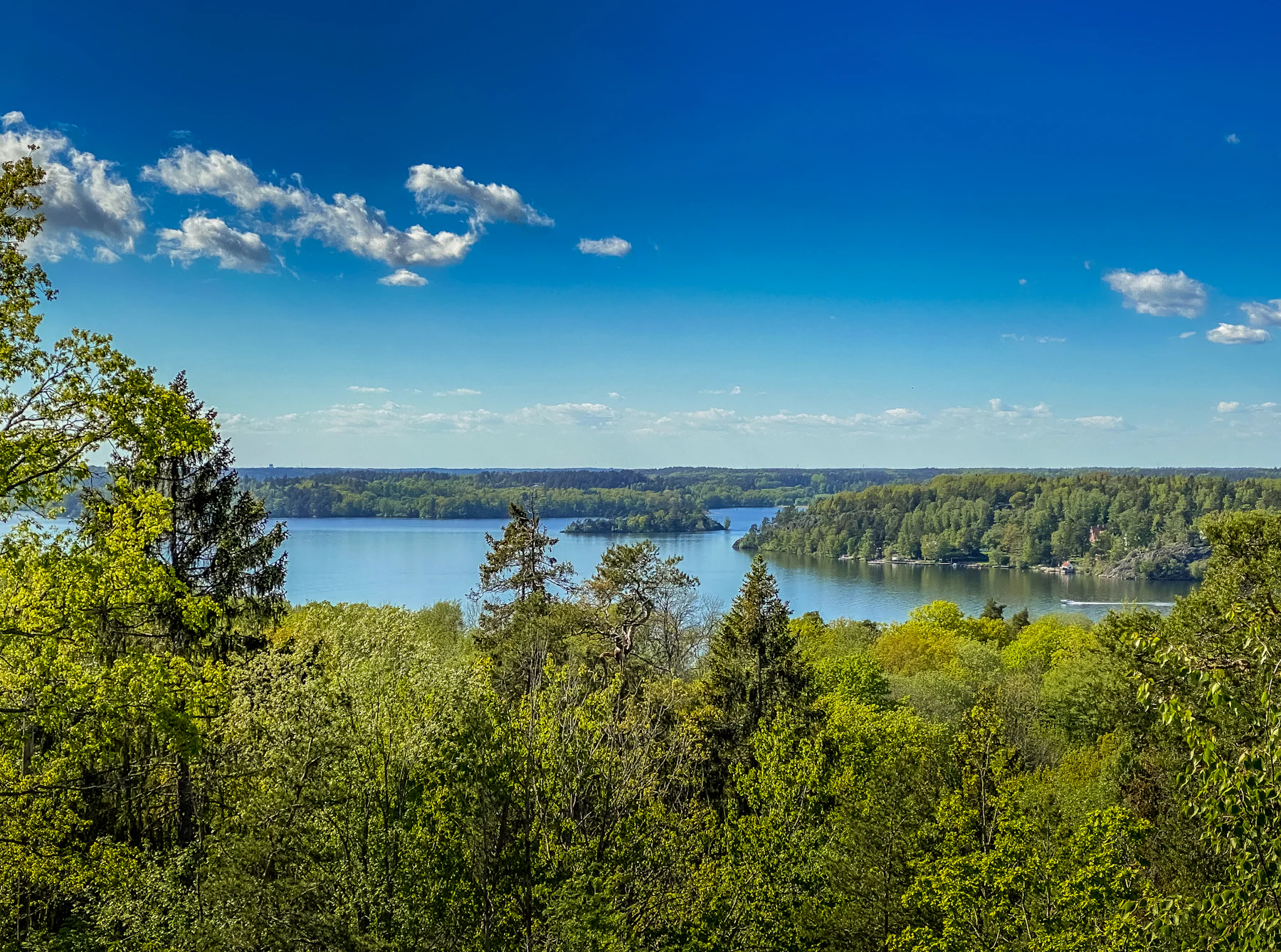 Naturbasen Uhrehøje, Shelterplads
- TrinkwasserTrinkwasser: Bestätigt
- ToilettenToiletten: Nicht bestätigt, verlass dich nicht darauf
- DuschenDuschen: Nicht bestätigt, verlass dich nicht darauf
- StromStrom: Nicht bestätigt, verlass dich nicht darauf
- EntsorgungsstationEntsorgungsstation: Nicht bestätigt, verlass dich nicht darauf
 Vilsted Sø, Holmen
- TrinkwasserTrinkwasser: Bestätigt
- ToilettenToiletten: Nicht bestätigt, verlass dich nicht darauf
- DuschenDuschen: Nicht bestätigt, verlass dich nicht darauf
- StromStrom: Nicht bestätigt, verlass dich nicht darauf
- EntsorgungsstationEntsorgungsstation: Nicht bestätigt, verlass dich nicht darauf
Vilsted Sø, Ranum Søhus- TrinkwasserTrinkwasser: Bestätigt
- ToilettenToiletten: Nicht bestätigt, verlass dich nicht darauf
- DuschenDuschen: Nicht bestätigt, verlass dich nicht darauf
- StromStrom: Nicht bestätigt, verlass dich nicht darauf
- EntsorgungsstationEntsorgungsstation: Nicht bestätigt, verlass dich nicht darauf
Vilsted Sø, Shelterplads ved Ranum Søhus- TrinkwasserTrinkwasser: Bestätigt
- ToilettenToiletten: Nicht bestätigt, verlass dich nicht darauf
- DuschenDuschen: Nicht bestätigt, verlass dich nicht darauf
- StromStrom: Nicht bestätigt, verlass dich nicht darauf
- EntsorgungsstationEntsorgungsstation: Nicht bestätigt, verlass dich nicht darauf