What you are arriving at
What the sign says
In Auvergne-Rhône-Alpes a stopover here means an aire de services, a stopover designated by the commune. Usually a small marked car park with a service point for water and waste, signed from the road.

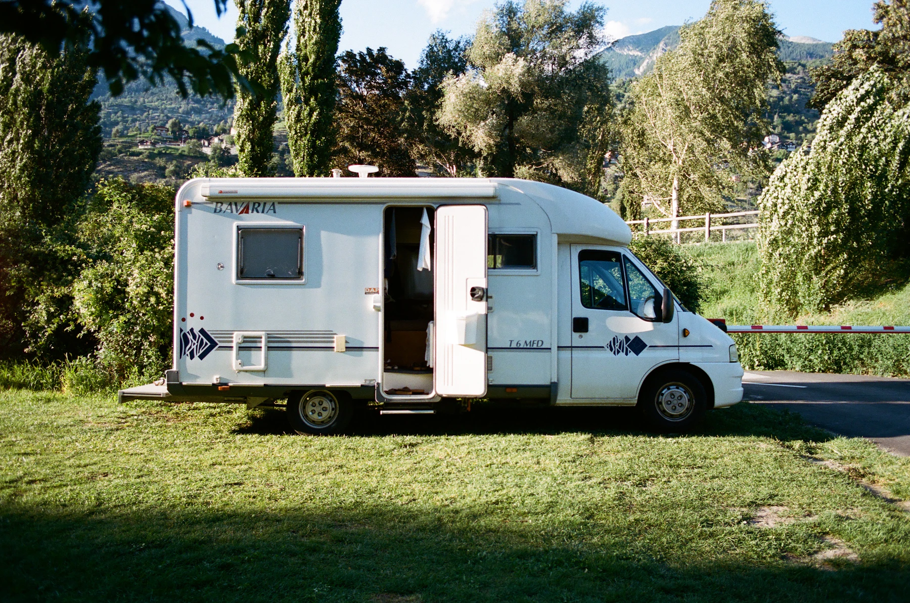
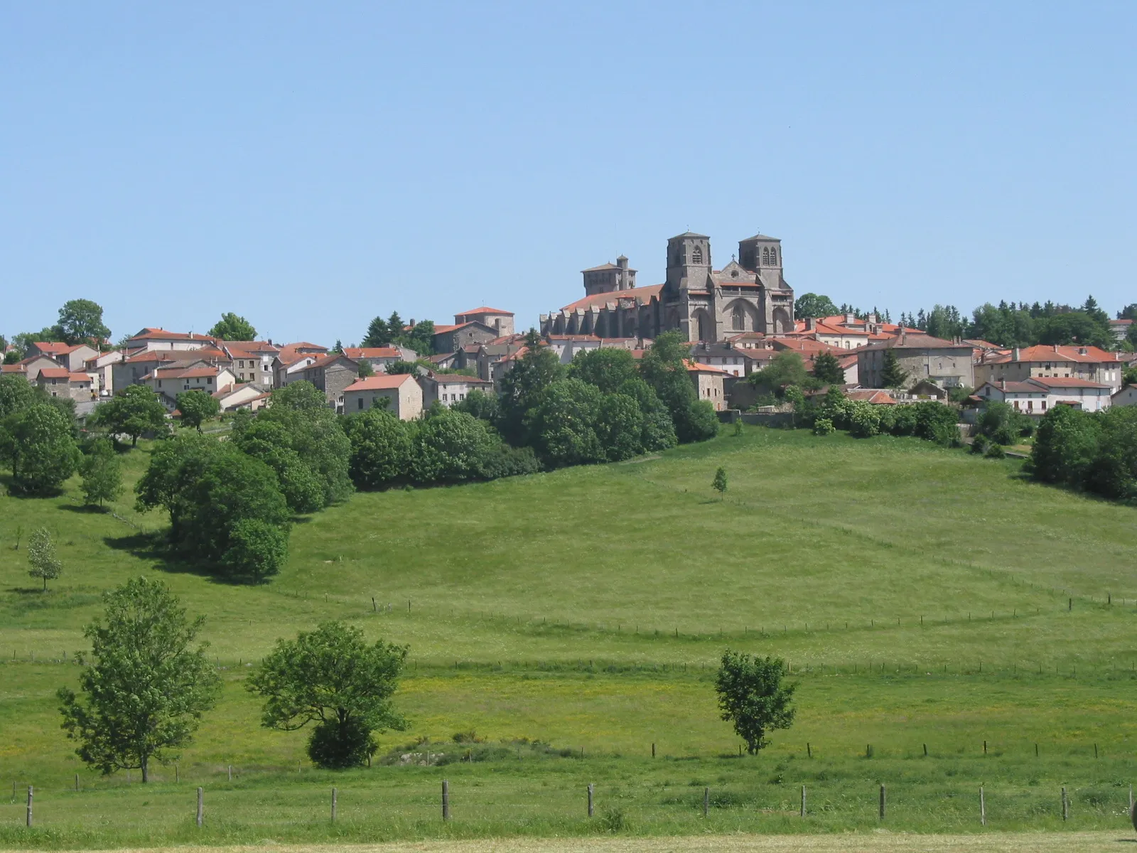
Auvergne-Rhône-Alpes is two driving experiences under one name: rolling farmland and volcano country in the west, serious alpine roads in the east. Most of the mapped free stopovers sit in the western half, not up among the ski resorts.
01 · Map
02 · Every place · 92
Group 01 · Auvergne-Rhône-Alpes
 AireFree to park, pay for services
Auvergne-Rhône-Alpes · France
Checked Jul 20
 AireFree
Auvergne-Rhône-Alpes · France
Checked Jul 20
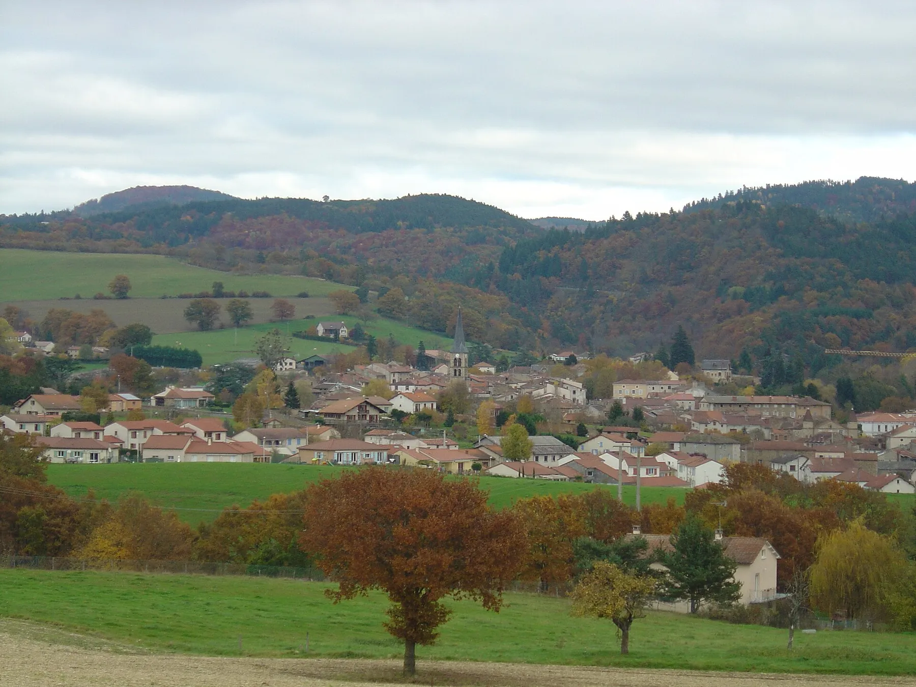 AireFee not stated
Auvergne-Rhône-Alpes · France
Checked Feb 19
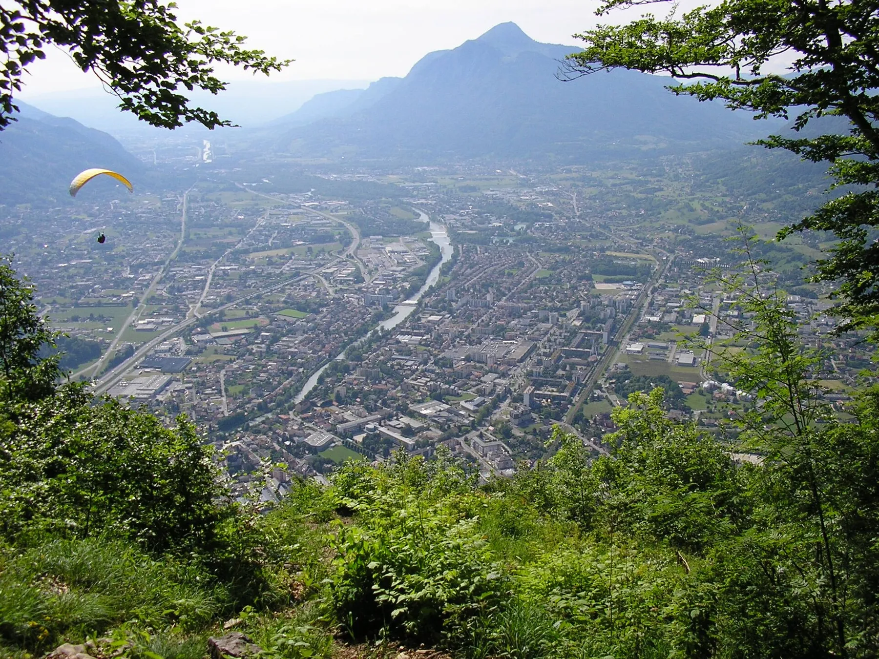 AireFree
Auvergne-Rhône-Alpes · France
Checked Jul 20
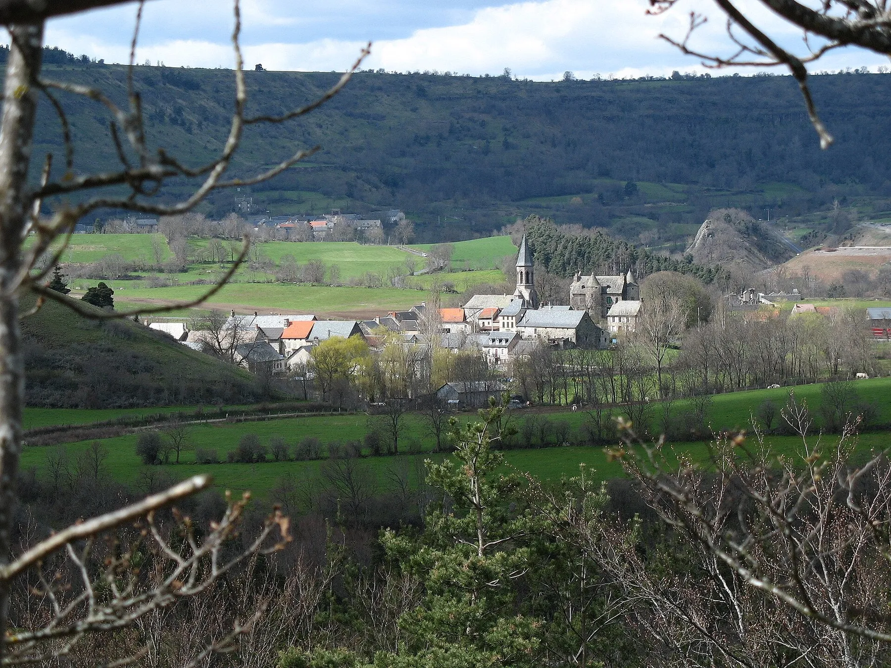 AireFree to park, pay for services
Auvergne-Rhône-Alpes · France
Checked Jul 20
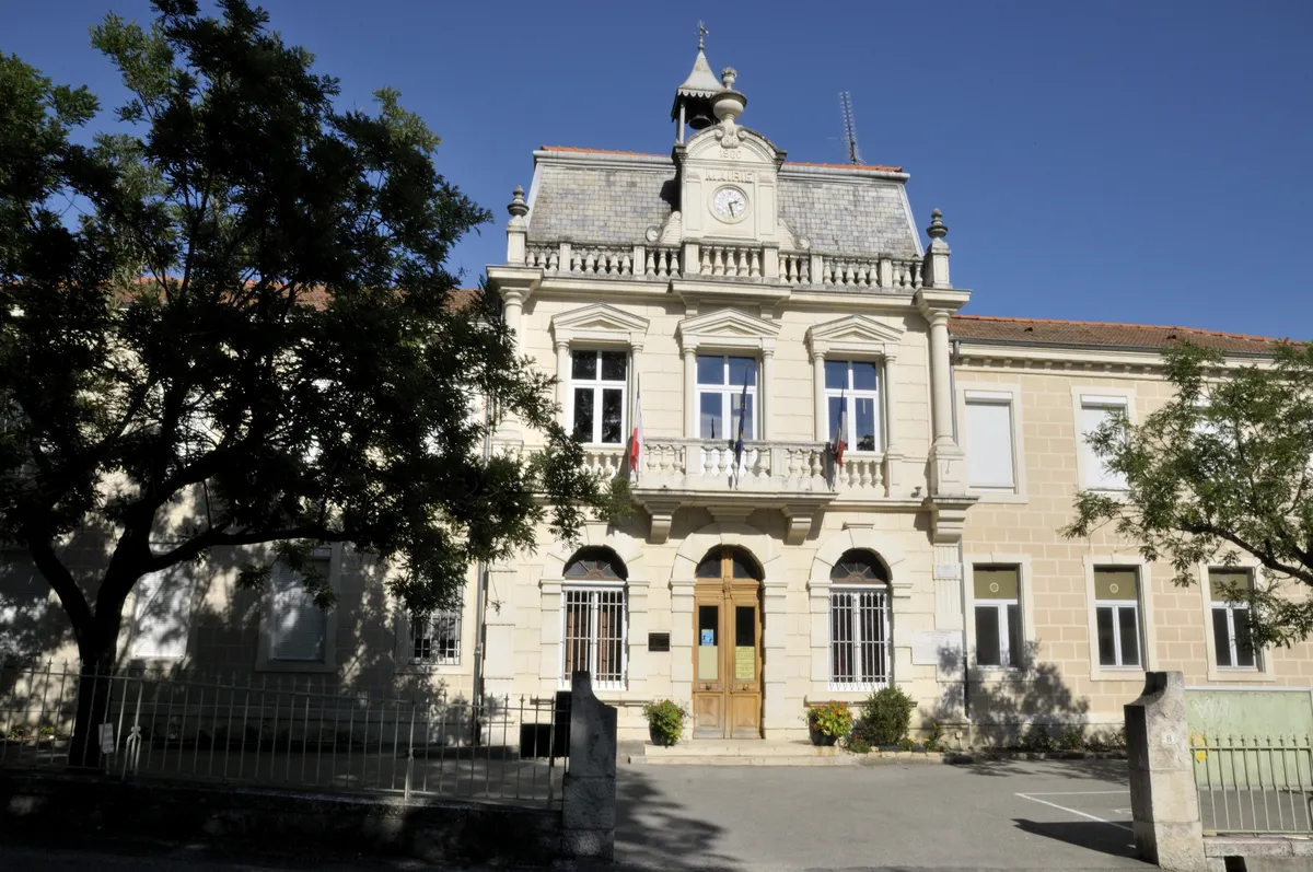 AirePaid
Auvergne-Rhône-Alpes · France
Checked Feb 14
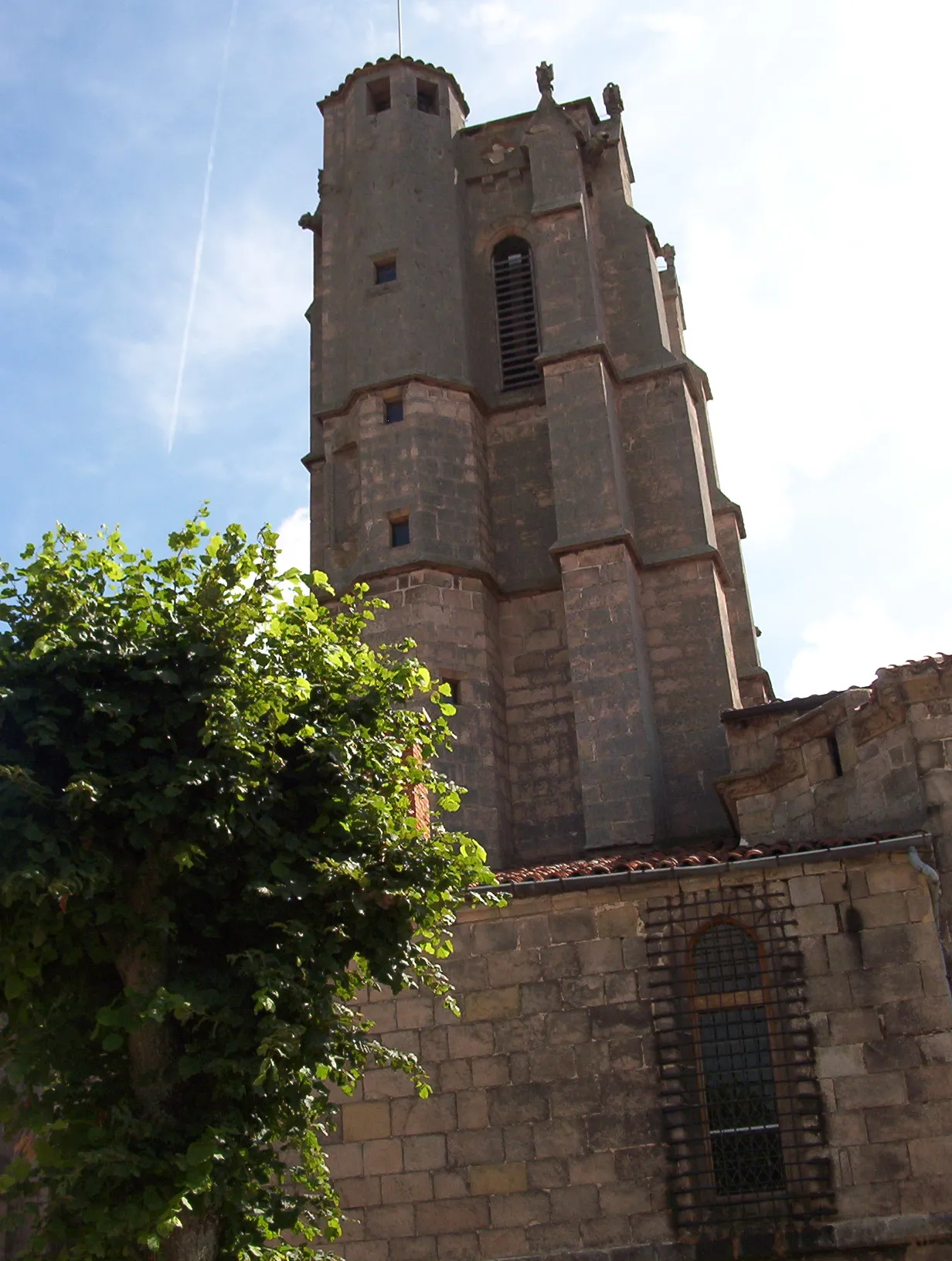 AireFree
Auvergne-Rhône-Alpes · France
Checked Jul 20
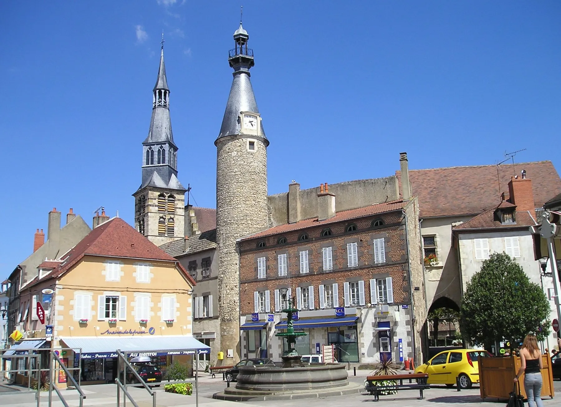 AireFree to park, pay for services
Auvergne-Rhône-Alpes · France
Checked Jul 20
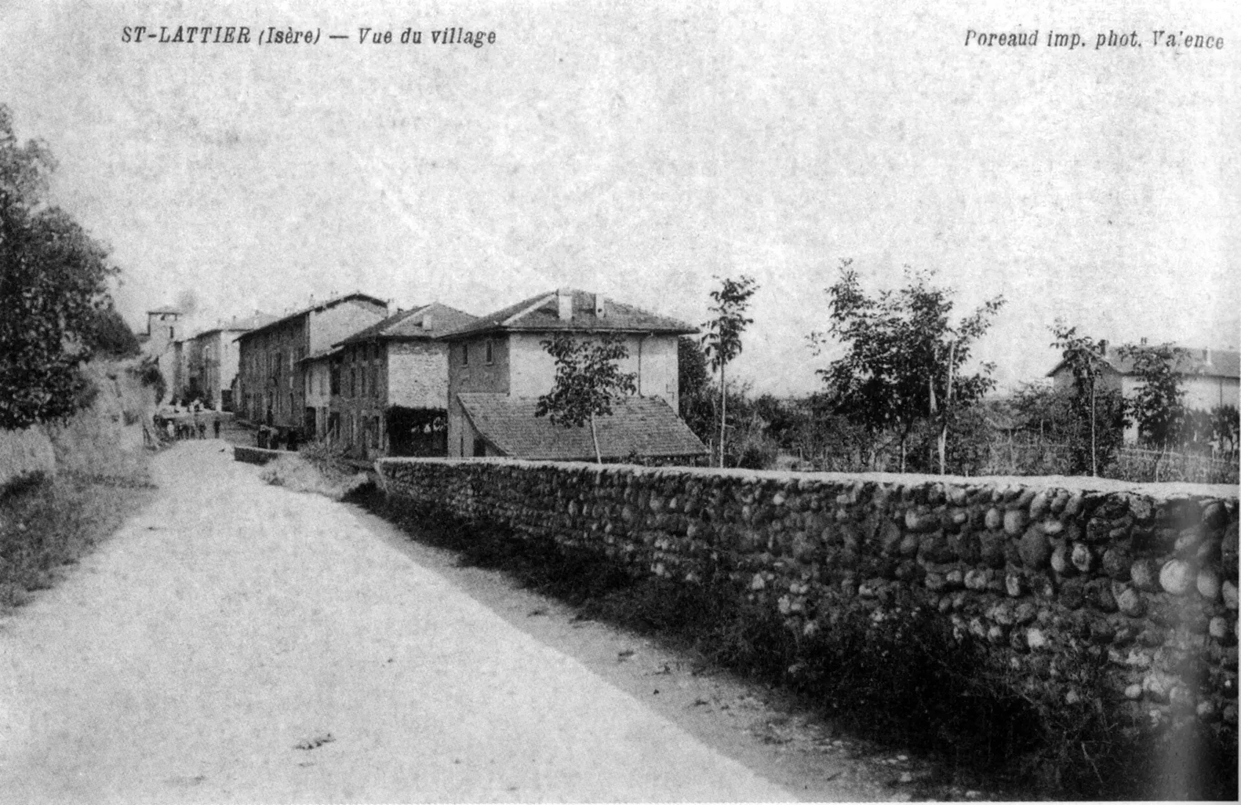 AireFee not stated
Auvergne-Rhône-Alpes · France
Checked Oct 28
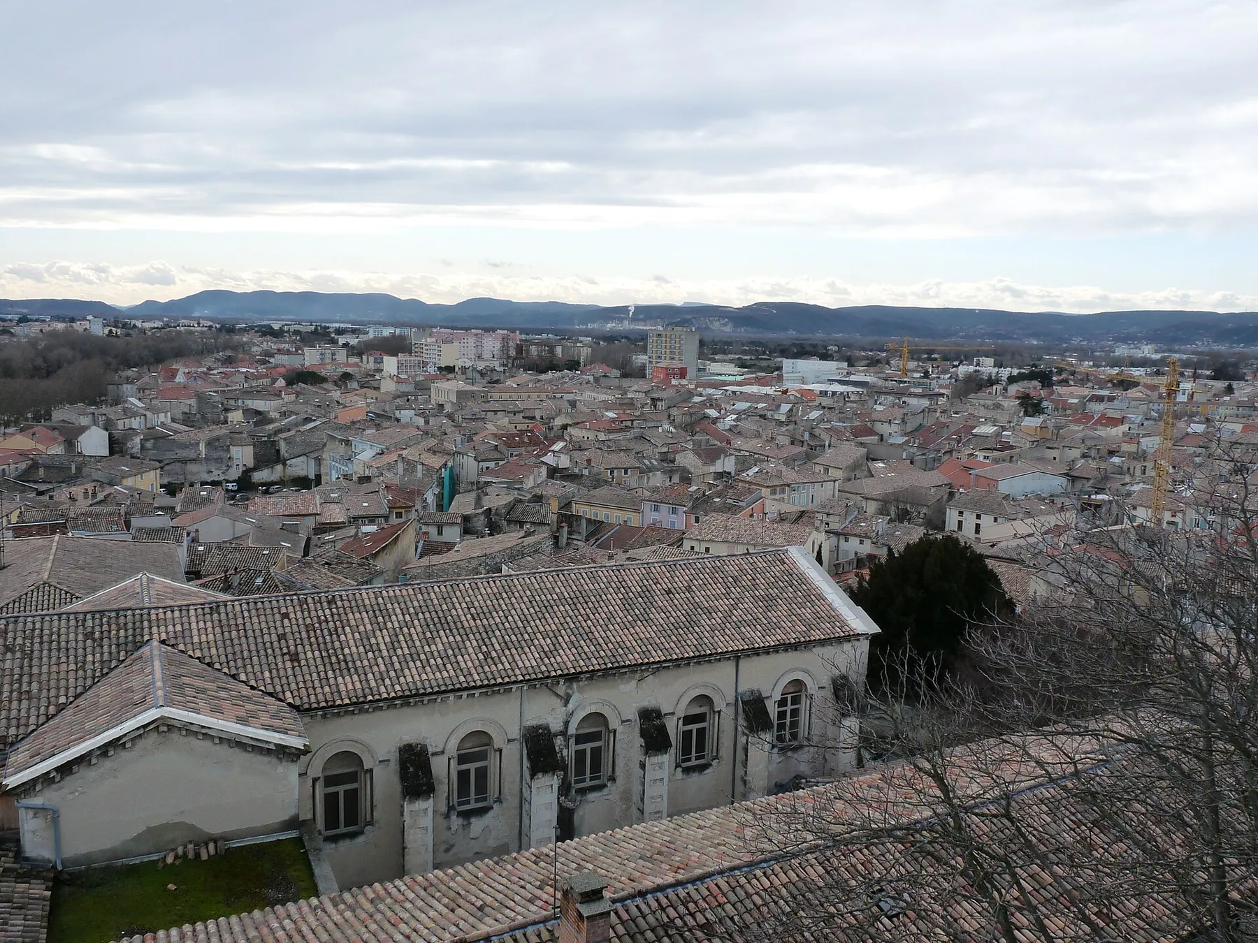 AireFree
Auvergne-Rhône-Alpes · France
Checked Oct 18
AireFreeAuvergne-Rhône-Alpes · France
Checked Oct 18
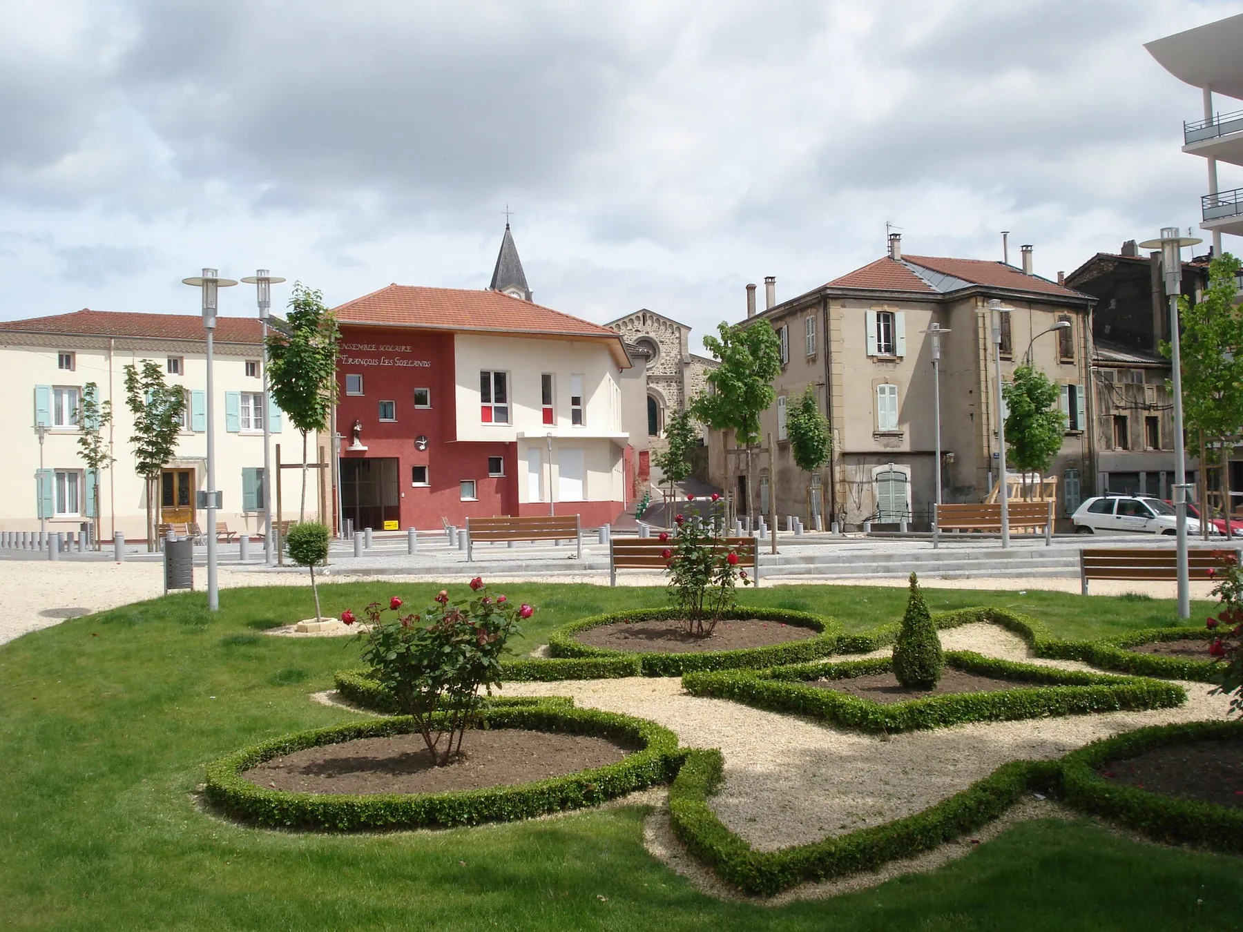 AireFree
Auvergne-Rhône-Alpes · France
Checked Jul 31
AirePaidAuvergne-Rhône-Alpes · France
Checked Jul 31
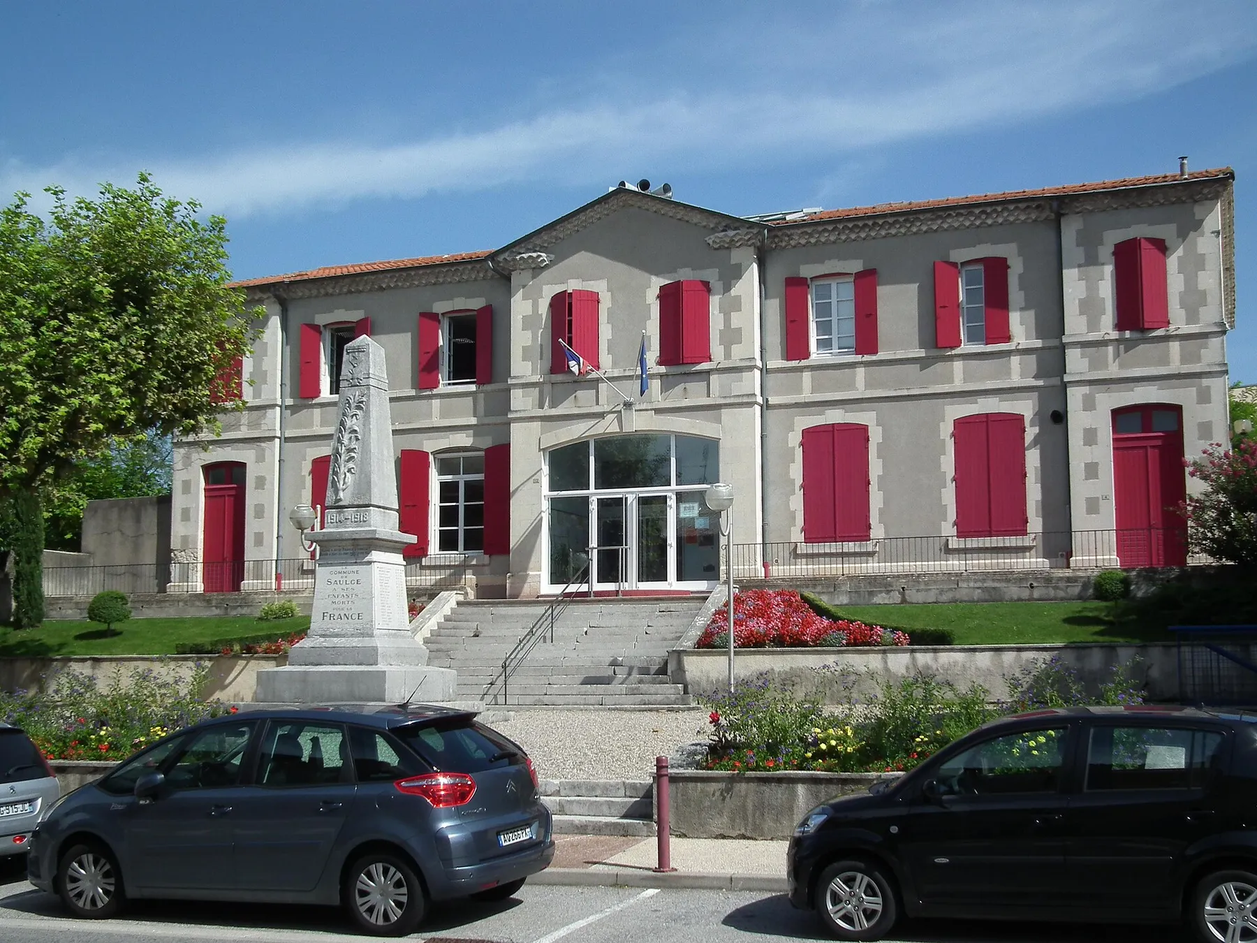 AireFree
Auvergne-Rhône-Alpes · France
Checked Oct 18
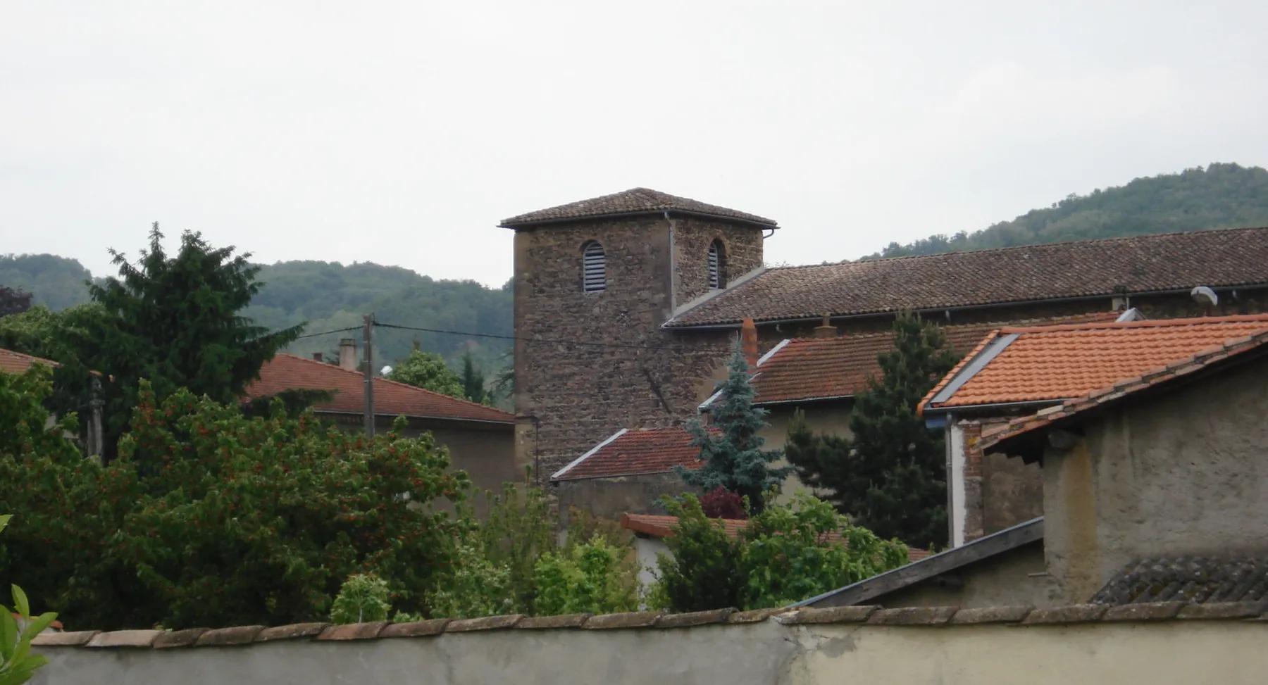 AireFree
Auvergne-Rhône-Alpes · France
Checked Apr 15
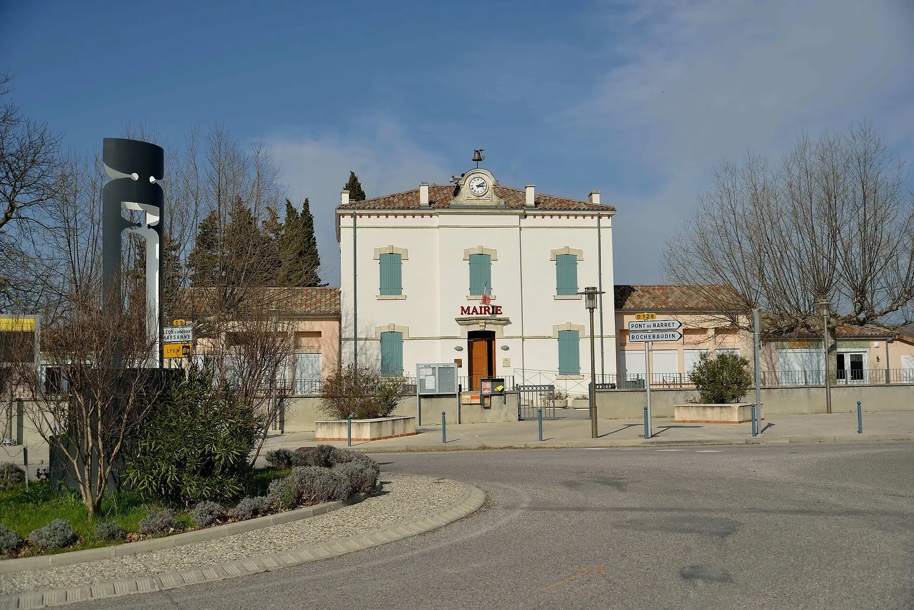 AireFree
Auvergne-Rhône-Alpes · France
Checked Jan 29
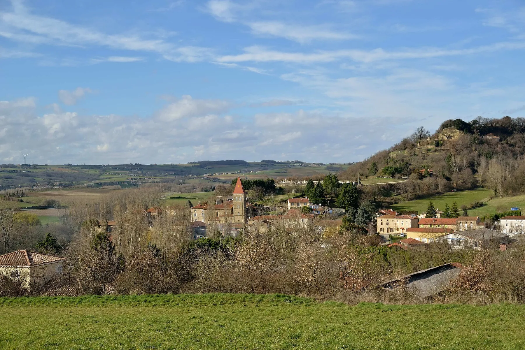 AireFree
Auvergne-Rhône-Alpes · France
Checked Mar 26
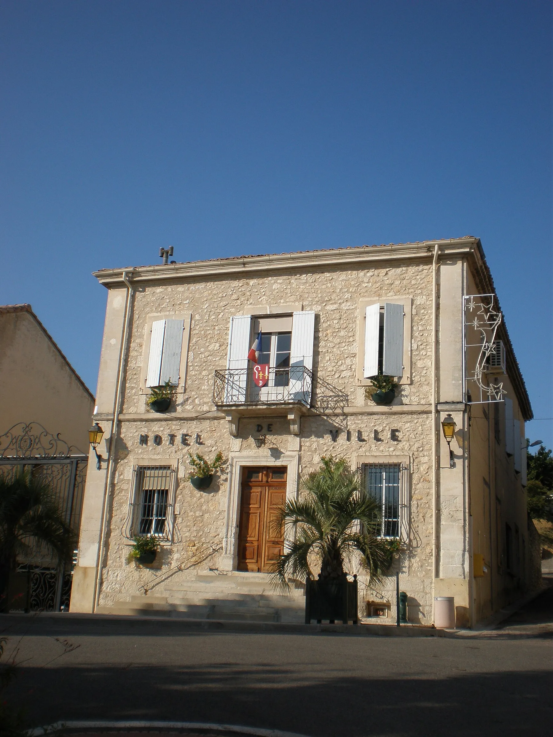 AireFree
Auvergne-Rhône-Alpes · France
Checked Nov 14
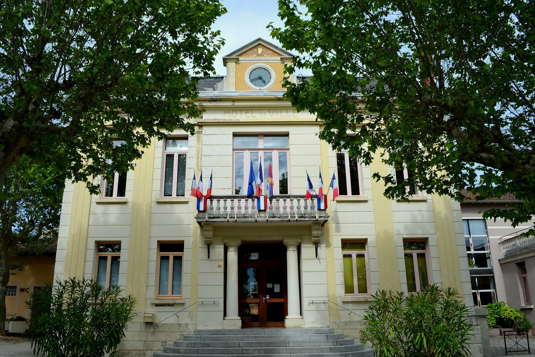 AireFree
Auvergne-Rhône-Alpes · France
Checked Mar 6
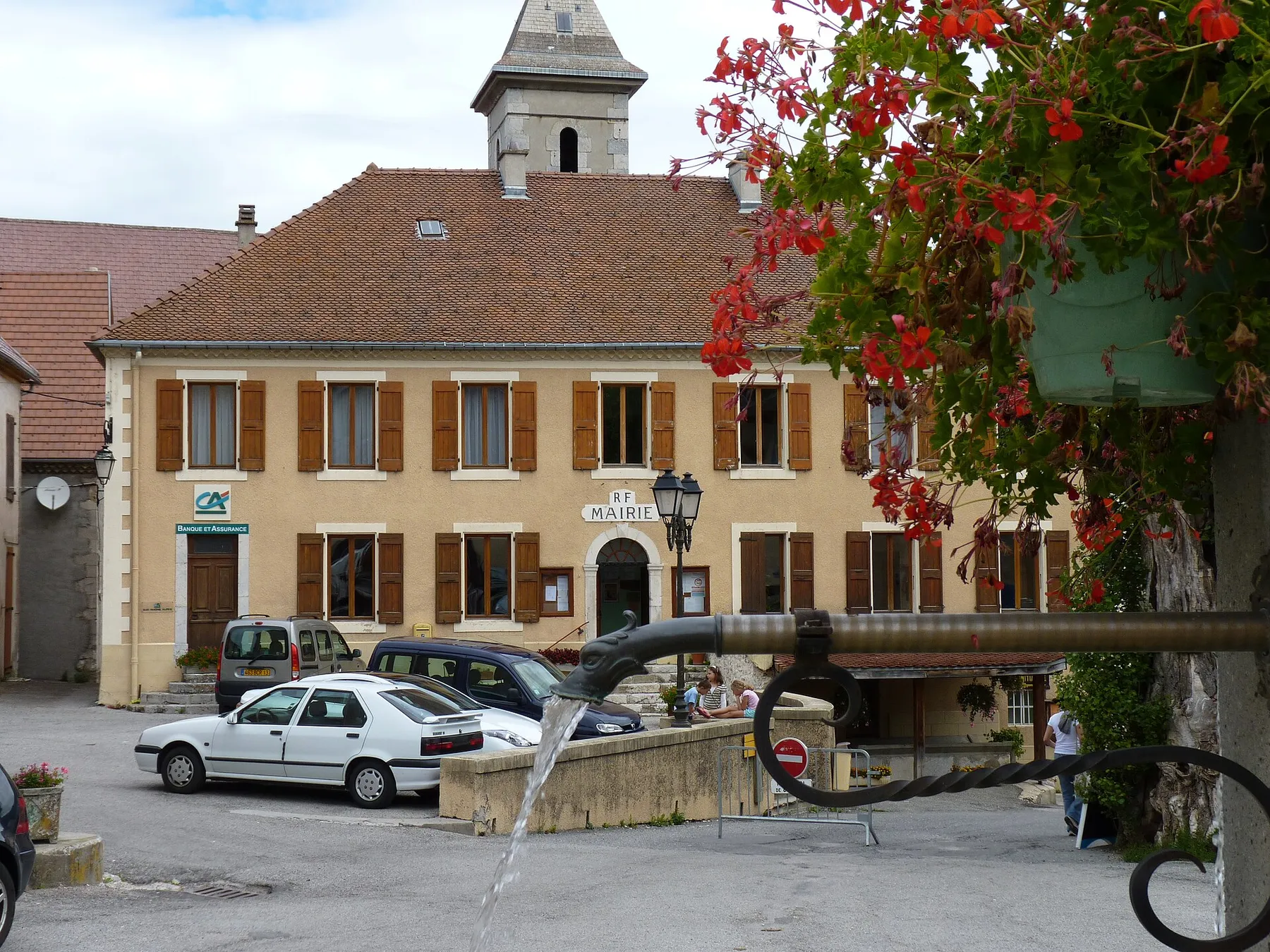 AireFree
Auvergne-Rhône-Alpes · France
Checked Jul 20
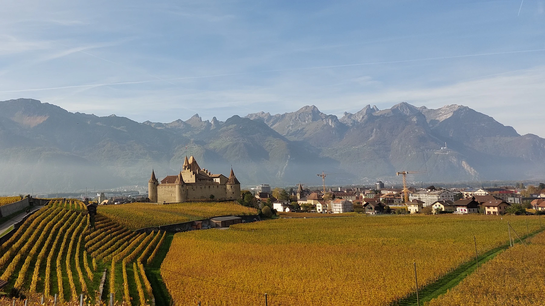 AireFree
Auvergne-Rhône-Alpes · France
Checked Mar 20
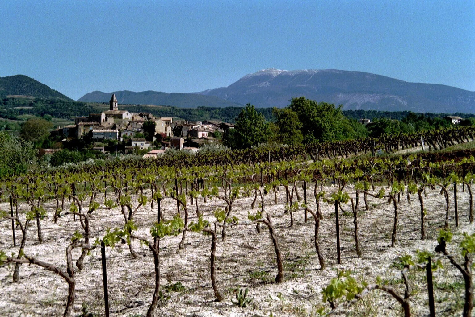 AireFree
Auvergne-Rhône-Alpes · France
Checked Jan 16
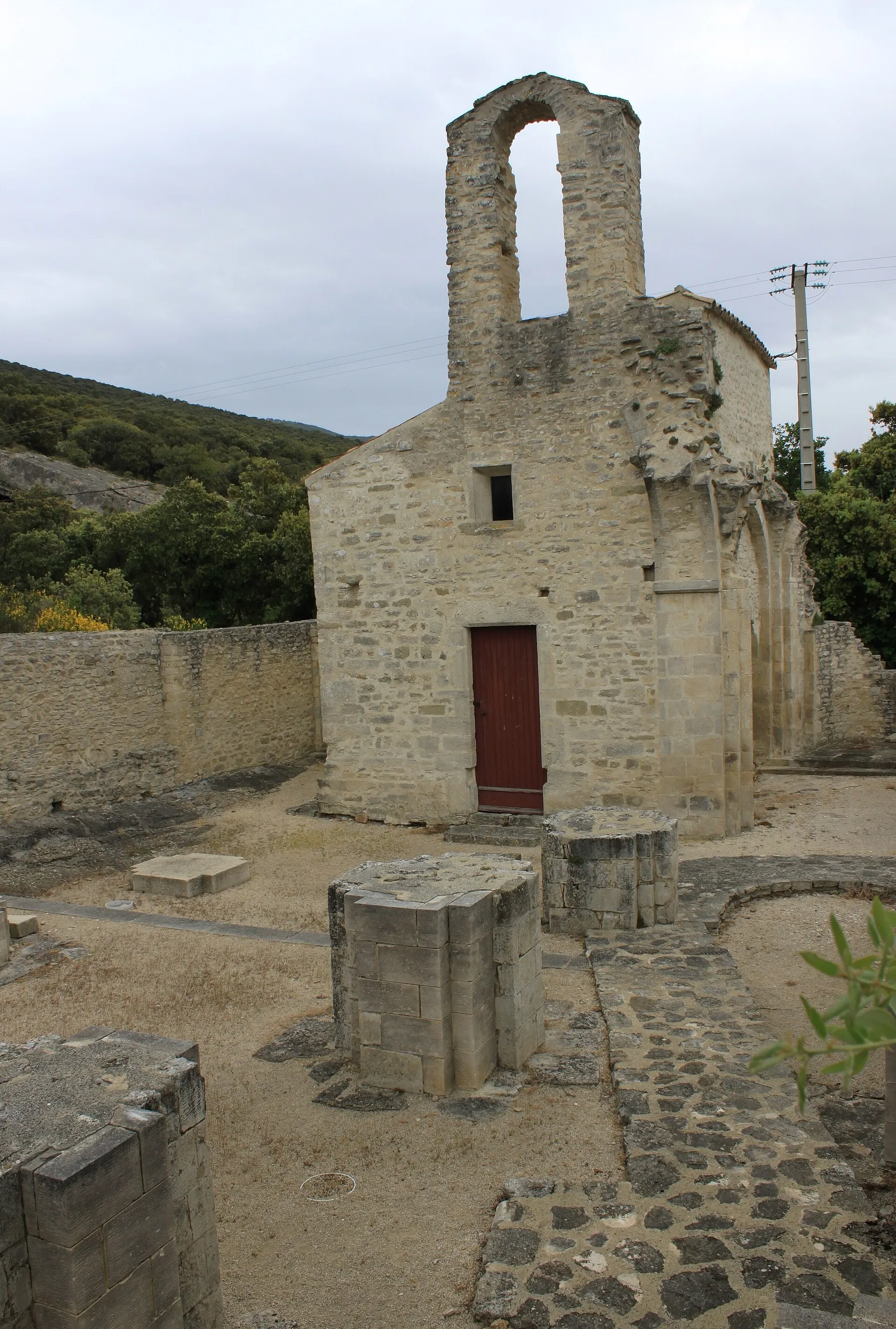 AireFee not stated
Auvergne-Rhône-Alpes · France
Checked Mar 26
AireFee not statedAuvergne-Rhône-Alpes · France
Checked Sep 9
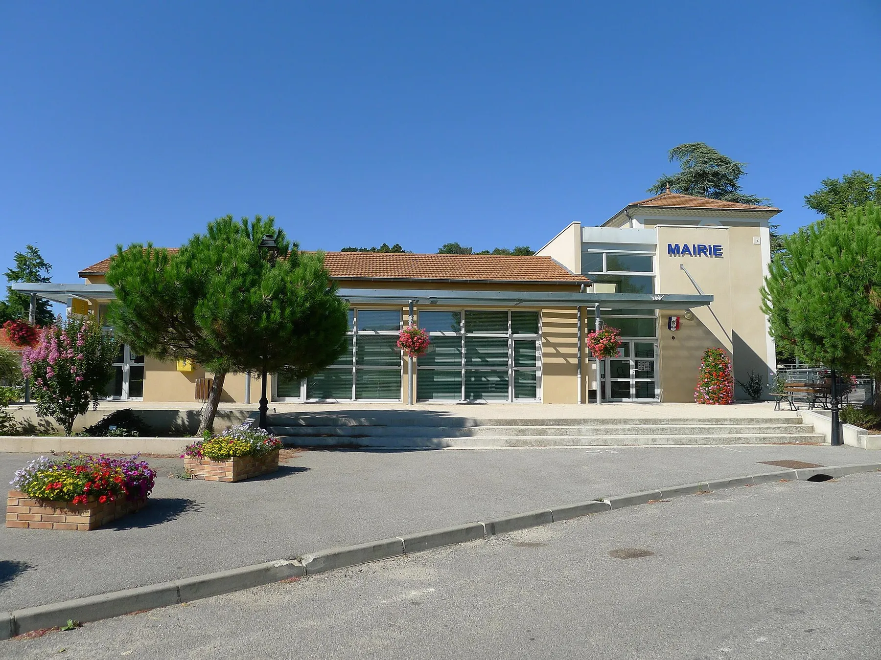 AireFee not stated
Auvergne-Rhône-Alpes · France
Checked Jun 9
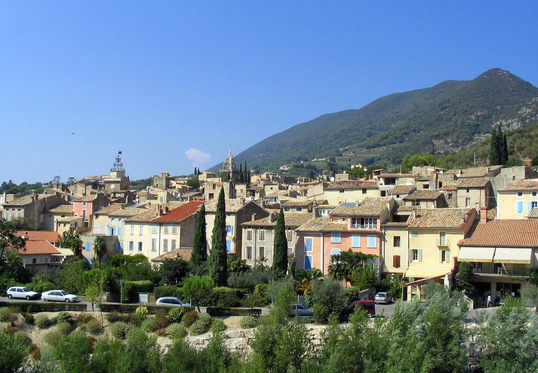 AirePaid
Auvergne-Rhône-Alpes · France
Checked Nov 13
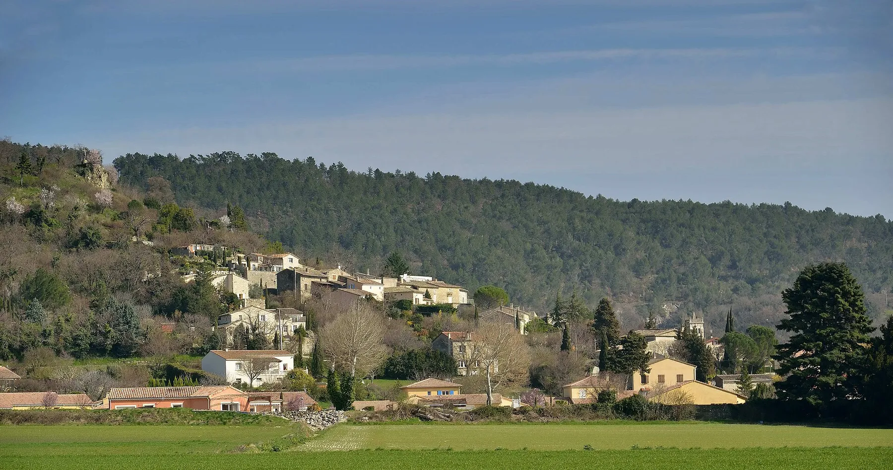 AireFee not stated
Auvergne-Rhône-Alpes · France
Checked May 28
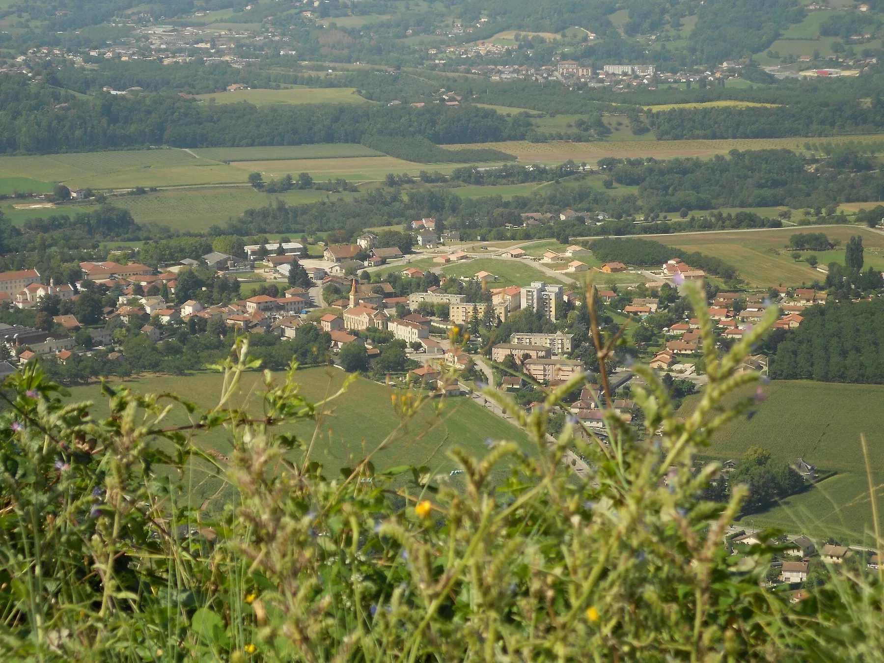 AireFree
Auvergne-Rhône-Alpes · France
Checked Nov 14
 AireFree
Auvergne-Rhône-Alpes · France
Checked Jan 19
 AireFee not stated
Auvergne-Rhône-Alpes · France
Checked Sep 13
03 · Before you go
What you are arriving at
In Auvergne-Rhône-Alpes a stopover here means an aire de services, a stopover designated by the commune. Usually a small marked car park with a service point for water and waste, signed from the road.
Fees
Free parking and free services are two different things. Where a place charges for water or power, its own page says so. Carry coins for the ones with no price posted.
Season
6 of these 92 stopovers publish opening hours. The rest do not. Where no season is published, treat the water as something to confirm rather than something to plan around, and arrive with a full tank in the cold months.
04 · The detail
Auvergne-Rhône-Alpes is the wrong shape to plan as one region. The western side, roughly the old Auvergne plus the Allier and the Forez, is farmland, volcanic uplands and small market towns joined by ordinary two-lane roads. The eastern side is the Alps, where a 60 km hop on the map can be an hour and a half of hairpins and a 1,500 m climb. If you plan alpine days by distance you will be wrong every time.
In the west, distances behave normally and the towns come often enough that a bad stopover costs you twenty minutes. The A75 and A89 carry you across the region quickly if you want them, and the smaller roads between the volcanoes are pleasant enough that you often will not.
In the Alps, plan by climb and by time of day. Long vehicles are fine on the main valley roads up the Maurienne, the Tarentaise and the Arve, but the side roads to the villages above them are a different proposition: single track in places, tight switchbacks, and a poor place to discover your overhang. Check the width and height limits before you turn off a valley floor. The Mont Blanc and Fréjus road tunnels both price by vehicle class, so get a quote for your own length and height from the operator before you plan a route through one.
Winter closes the top of this region. High passes shut, the reopening dates move with the snowfall, and the signed diversion around a closed col is routinely a few hours rather than a few minutes. Mountain aires themselves often shut their water off for the winter to stop the pipes freezing, so a bay that is technically open may have nothing on it. Some places record the season directly in the records: the aire at Font d’Urle on the Vercors plateau is tagged in OpenStreetMap as open June 15 to September 15, Soleymieux in the Forez as March to October, Sorbier in the Allier as January to November. Those are contributor records rather than a guarantee, so treat them as the likely shape of the season and confirm with the commune before you drive up for one.
Summer is the opposite problem. July and August put pressure on the Ardèche, Annecy and the Chamonix valley in particular, and parking of any kind in those places gets harder as the season peaks. June and September are the better months here by a wide margin: the passes are open, the aires are running, and you are not queueing for a bay.
364 free places are mapped across Auvergne-Rhône-Alpes. Treat the count as a floor rather than a total: a blank part of the map is unmapped rather than empty. Where this comes from
What is here skews toward well-signed communal aires and away from the newer private networks, so if you want a serviced pitch with a booking, look beyond this map for it.
The densest cluster is not in the mountains. It is in the Allier, in the north west of the region, where a long list of small communes each run a free aire: Lapalisse, Saint-Pourçain-sur-Sioule, Varennes-sur-Allier, Chevagnes, Cérilly, Chantelle, Montmarault, Le Montet, Rocles. Several are large by aire standards. OpenStreetMap records 73 bays at Saint-Pourçain-sur-Sioule and 100 at Varennes-sur-Allier, which is unusual: most French aires are 4 to 12 bays.
Three other pockets are worth knowing. The Forez and the Gorges de la Loire, west of Saint-Étienne, carry a run of small communal aires including Saint-Bonnet-le-Château, Chambles and Saint-Victor-sur-Loire. The northern Ardèche and the Drôme have another, with Saint-Félicien, Saint-Romain-d’Ay and Saint-Romain-de-Lerps on the plateau above the Rhône. And the volcanic center, around the Cantal and the Haute-Loire, has scattered singles: Neussargues en Pinatelle, Montsalvy, La Chaise-Dieu, Polignac.
In the Alps proper the free places thin out and get more specific. Notre-Dame-de-Briançon in the Tarentaise, La Chapelle-d’Abondance in the Chablais, Cluses in the Arve valley, and a designated bivouac zone at Les Léchères in the Maurienne. Useful if you are passing. Not a network you can plan a fortnight around.
The posted sign at the entrance and the commune’s current guidance beat this website, always. Aires get closed for works, for a village fête, or for the winter, and the closure reaches the sign long before it reaches any map. If you are in a tent rather than a motorhome, an aire is not what you want and the rules are different: read the French bivouac rules first.
More on the national picture is on the France country page, and if the word itself is new, start with what an aire actually is. To see the places in this region against the rest of the country, open the France map.
05 · Frequently asked
Plenty of people do, but treat the high passes as a seasonal route rather than a road. They close in winter, the reopening date moves year to year with the snow, and the signed diversion around a closed pass can add hours. Check the current status with the département road service before you commit a long vehicle to a col, and read the posted sign at the bottom of the climb.
Because the free aires here are a lowland thing. They are thickest in the Allier, the Forez and the Ardèche, and thinnest above the tree line. Each resort commune sets its own charge and its own permission, so treat a night up there as one to check rather than assume, and take the free stops in the valleys below. If you want a specific resort, ask its mairie.
Often not. Water points at altitude are commonly shut off over winter so the pipework does not freeze, and the bays can stay open with a dead tap. Fill up in the valley before you climb, and do not plan a service stop around an aire you have not confirmed is running.
It has a reasonable spread of small communal aires, and the roads are manageable in a motorhome outside the gorge itself. The gorge road is narrow, busy and slow in summer. In July and August the whole corridor fills up with river tourism, so the shoulder months are easier.
06 · Nearby